
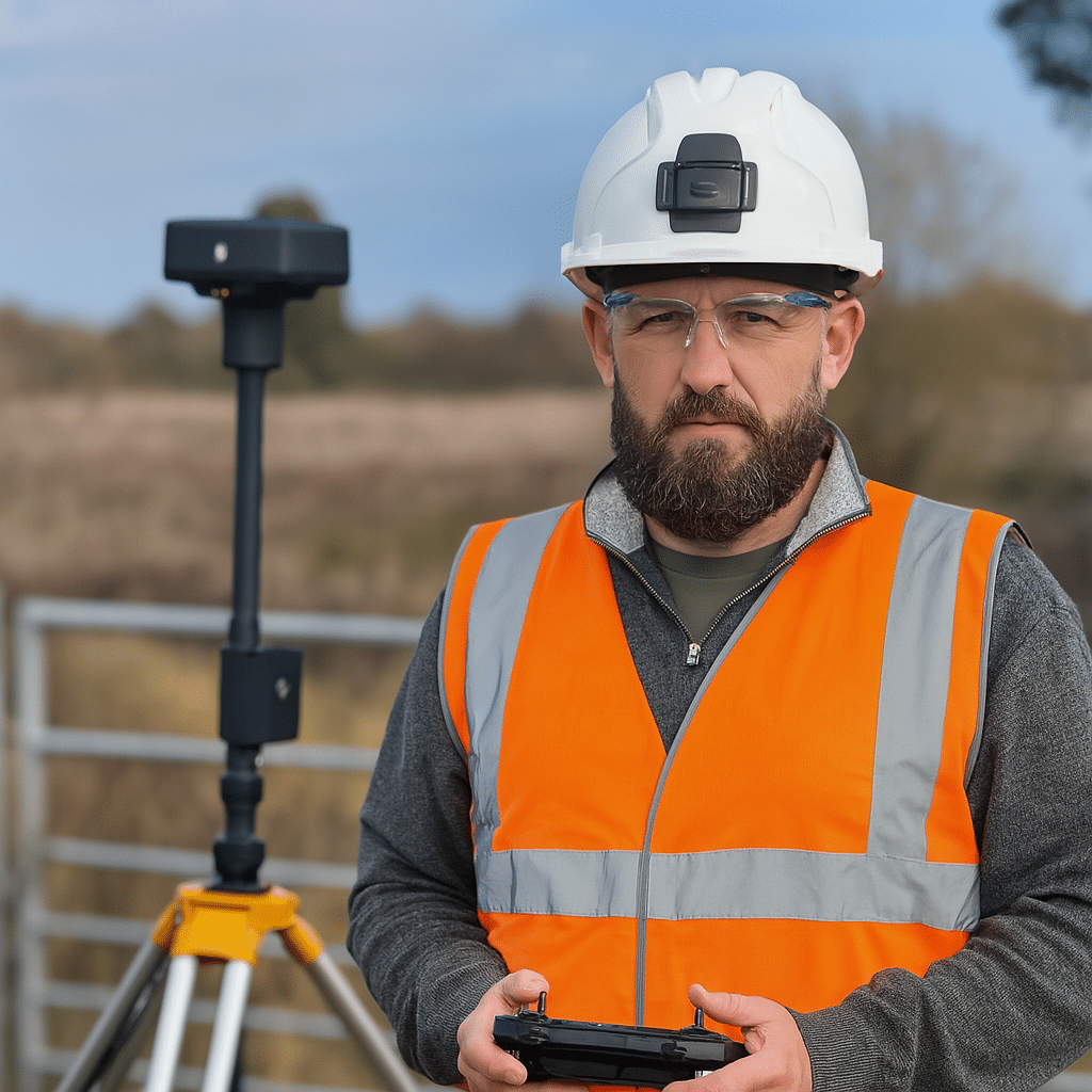
Drone Surveys in Kent
Serving Kent and the South East with professional aerial surveys, inspections, and high-precision mapping for railway and construction sites.
Why Choose Us
CAA Authorised & Insured
Specialist in Railway & Construction Sites
High-Precision Mapping & 3D Modelling
Our Services
Drone Survey & Mapping
High-resolution land surveys, accurate stockpile analysis, and detailed terrain modelling for smarter site planning and monitoring
Construction Inspections
Progress monitoring, structural checks, and site documentation made safe and efficient
Railway Inspections
Trackside inspections, asset monitoring, and infrastructure surveys — reducing boots on ballast and improving site safety
Reality capture
Aerial and ground-based 360° data to create digital twins and site walkthroughs — giving remote teams full visual access
About Pixair
PixAir Drone Solutions delivers professional drone surveys in Kent, along with expert mapping and inspection services across Kent and the South East. With deep expertise in railway engineering and construction, we provide high-quality aerial data to improve safety, precision, and on-site efficiency. From detailed topographic mapping to critical infrastructure inspections, PixAir reduces boots on ballast and delivers the insight you need—from above.
Need a Drone Survey or Inspection?
Get fast, accurate, and professional drone surveys and inspections tailored to your project. Whether you need detailed mapping, progress reports, or safety checks, PixAir delivers reliable aerial data to help you make informed decisions—safely and efficiently. Contact us today for a no-obligation quote.